Solutions
Innovative Technologies, Infinite Scalability, Global Leader
Solutions

Autonomous Driving Ultra-precise displacement tracking technology using GNSS
It powers the next generation of connected and autonomous driving self-sufficiency.Location services that enable accurateoperation everywhere.
Precise Navigation
Helps optimize driver safety and vehicle efficiency.
ADAS and Autonomy
Provides safe support and autonomous operation.
V2X
Improves stability by cooperating with other vehicles and devices
Precise Geotagging
Provides data collection for trend analysis and map building.
Reliable Accuracy
Centimeter-level accuracy
High Availability
Uniform performance
across all regions

High Integrity
- Compliance with ISO 26262 for ASIL-B
- Protection against GNSS spoofing and jamming
- Redundant System Architecture
High Performance in the Most Challenging Environments
Navsys's precision positioning platform corrects GNSS signal errors and utilizes sensor fusion to enable accurate absolute positioning
even in the most challenging environments where other solutions fail.

Downtown
Mitigates errors caused by multipath, blockage, and reflected signals commonly occurring in urban areas.

Expressway
Accurate enough to distinguish between highways and access roads

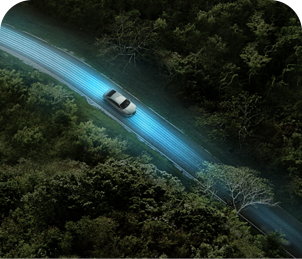
Country Road
Maintain your course on outer roads that are either unmarked on the map or in locations off the map.

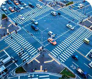
Complex Intersections
Safely navigate complex or inaccurately marked multi-lane intersections on the map.

Underground Passage
Fast convergence and dead reckoning help navigate through underground passages and tunnels.

Bad weather
Even when visual information is blocked due to rain or snowstorms, stable operation is possible.

Downtown
Mitigates errors caused by multipath, blockage, and reflected signals commonly occurring in urban areas.

Expressway
Accurate enough to distinguish between highways and access roads.

Country Road
Maintain your course on outer roads that are either unmarked on the map or in locations off the map.

Complex Intersections
Safely navigate complex or inaccurately marked multi-lane intersections on the map.

Underground Passage
Fast convergence and dead reckoning help navigate through underground passages and tunnels.

Bad weather
Even when visual information is blocked due to rain or snowstorms, stable operation is possible.

Downtown
Mitigates errors caused by multipath, blockage, and reflected signals commonly occurring in urban areas.

Expressway
Accurate enough to distinguish between highways and access roads.

Country Road
Maintain your course on outer roads that are either unmarked on the map or in locations off the map.

Complex Intersections
Safely navigate complex or inaccurately marked multi-lane intersections on the map.

Underground Passage
Fast convergence and dead reckoning help
navigate through underground passages and tunnels.

Bad weather
Even when visual information is blocked due to rain or snowstorms, stable operation is possible.

